

FARO Focus Laser Scanning
FARO Focus is a powerful 3D scanner developed for fast, accurate, and scalable reality capture.

Lidarscanning and Modeling
MLT offers advanced Lidarscanning for accurate and reliable 3D documentation. With high precision and efficient data capture, we create true-to-reality digital models of everything from complex industrial environments to technical systems.
Lidarscanning and Modeling
MLT offers lidarscanning services for objects and environments that require accurate 3D documentation.
Lidar (Light Detection and Ranging) is a precise measurement technology that creates a three-dimensional digital model, or point cloud, of a physical object or environment.
Lidar is an efficient and reliable method for documenting objects in digital 3D format exactly as they are. It is ideal for measuring and modeling large, complex, and hard-to-capture objects where traditional measurement methods are not sufficient.
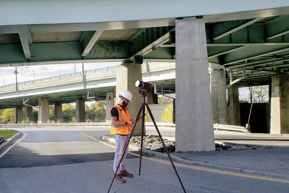
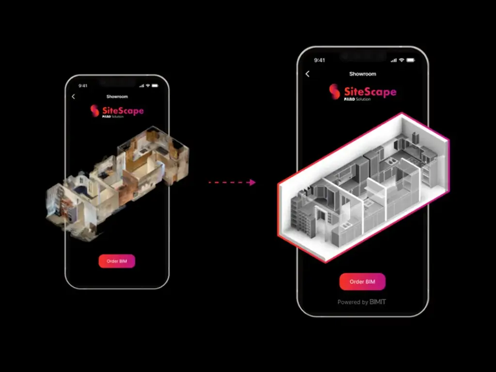
FARO Focus is a powerful 3D scanner developed for fast, accurate, and scalable reality capture.

FARO SCENE Software is an advanced software solution for processing, registering, and visualizing 3D scanning data.


