

FARO Orbis Mobile Laser Scanner
FARO SCENE Software is an advanced software solution for processing, registering, and visualizing 3D scanning data.

LIDARSCANNers
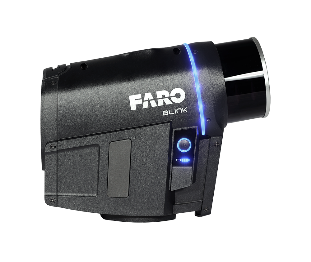
FARO Blink is an intuitive imaging laser scanner that makes reality capture accessible to everyone. With guided workflows, automated data processing, and high visual quality, you can quickly capture, analyze, and share 3D data, regardless of experience level.
Lidarscanners
Reality Capture, Simpler Than Ever
FARO Blink is developed to make reality capture faster, easier, and more accessible. From on-site data capture to finished insights, the system provides a smooth and automated workflow.
By combining high-quality visualization with intuitive usability, designers, builders, survey professionals, and emergency responders can easily document, review, and share data without the need for deep technical expertise. The result is a more efficient way of working where more people can contribute to project progress.
Fast and Guided Data Capture
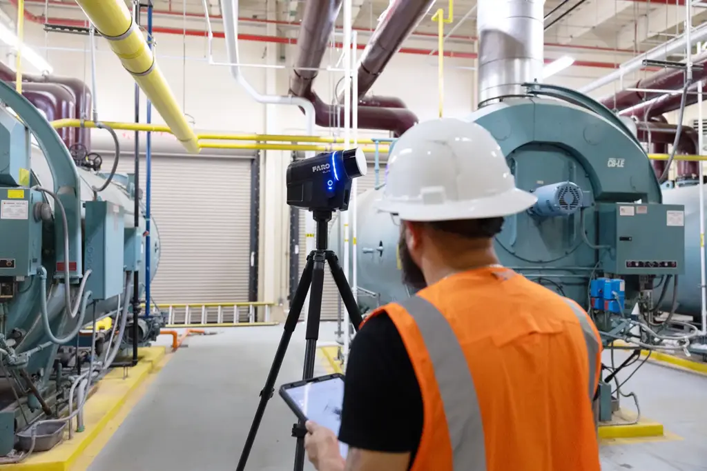
With guided scanning and real-time feedback, data capture becomes both simple and reliable. FARO Blink is designed to be easy to use from day one, with minimal training required.
This means users can get started quickly and capture the data they need, from early project phases to final delivery.
Blink automates the processing and registration of captured data, saving time and reducing the need for manual handling.
In addition, orthophotos can be extracted directly from the dataset, providing valuable resources for analysis, documentation, and communication.
Through integration with FARO Sphere XG, data can be shared and visualized in the cloud through a digital workspace. This enables smooth remote collaboration and ensures that all project stakeholders have access to updated information.
With high visual quality and accurate point clouds, decision-makers gain a reliable basis for faster and more informed decisions.
This, in turn, leads to quicker decision-making and improved project visibility.
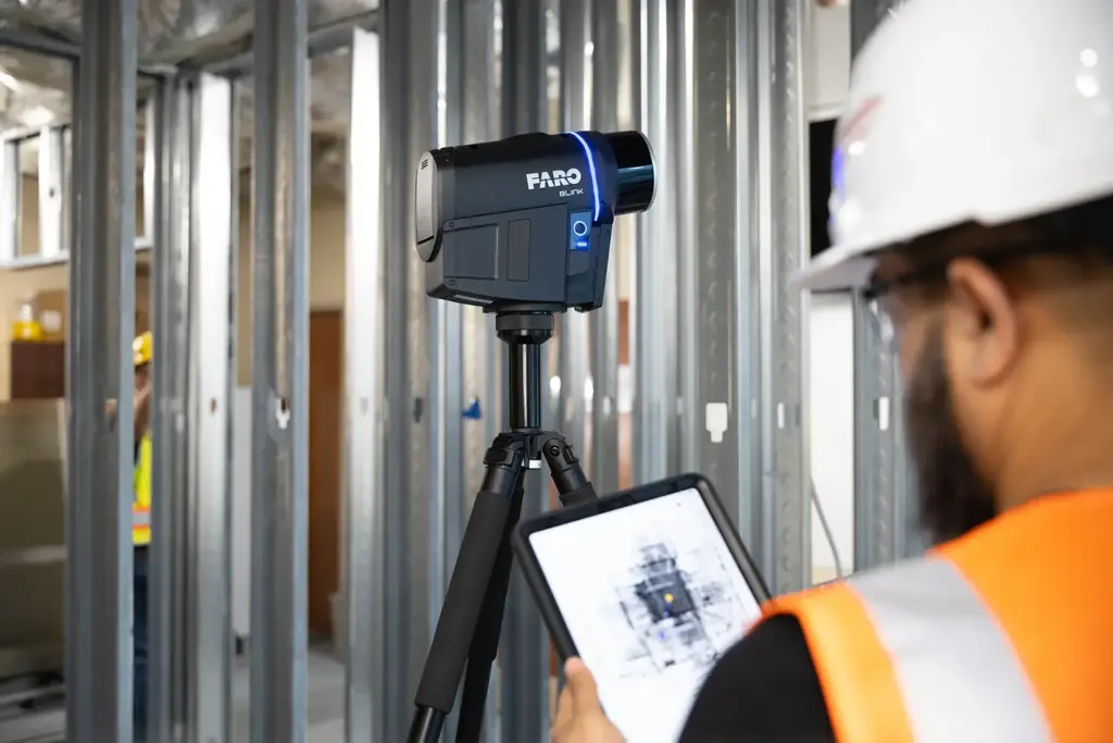
FARO Blink makes 3D scanning as easy as taking a photo. With the press of a button, you can quickly capture, review, and share data within minutes.
This enables efficient tracking of project progress and provides continuous insight directly from the jobsite.
Brochures and Manuals
FARO SCENE Software is an advanced software solution for processing, registering, and visualizing 3D scanning data.

FARO Focus is a powerful 3D scanner developed for fast, accurate, and scalable reality capture.
